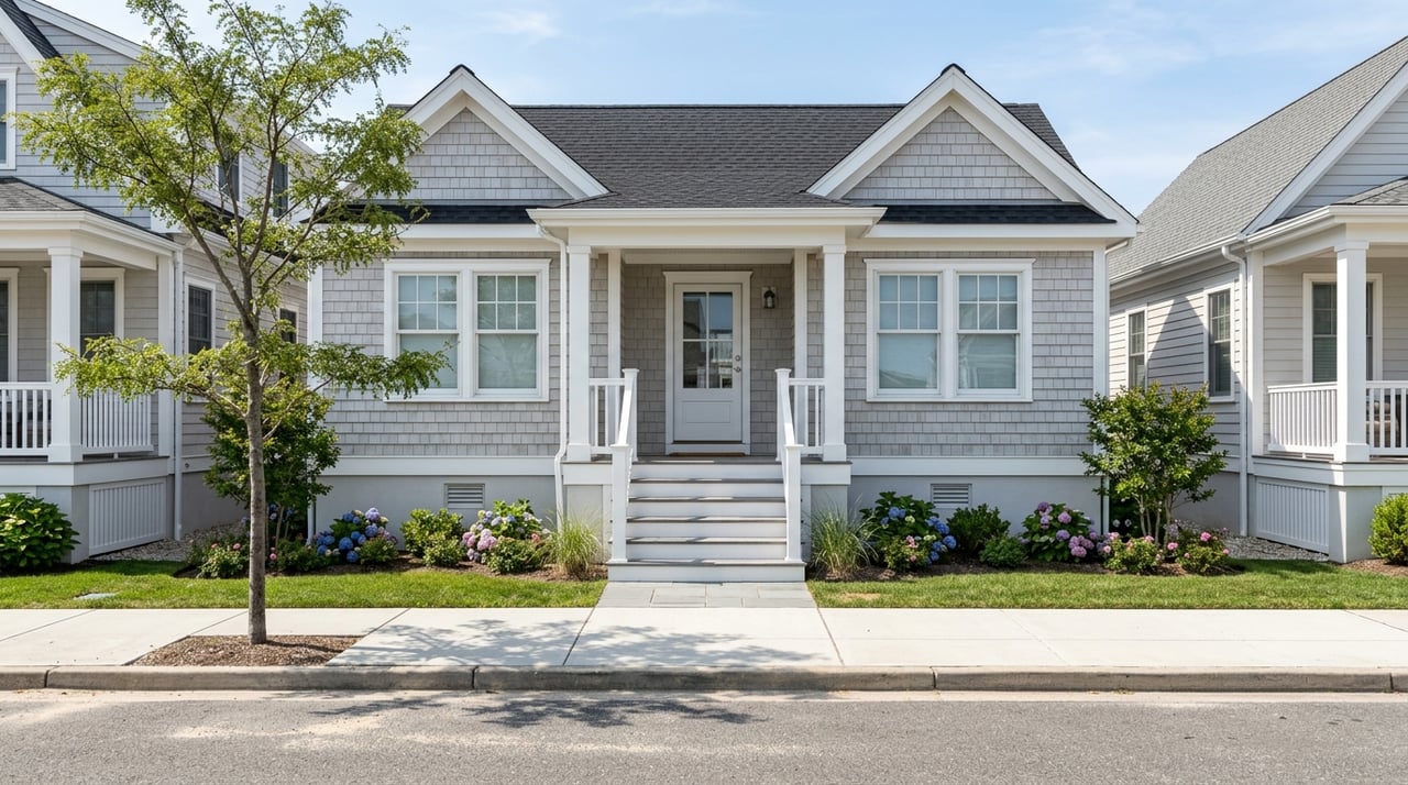
If you are considering a home in Mantoloking, flood risk is not a side issue. It is part of everyday ownership on this stretch of the Jersey Shore. The good news is that with the right due diligence, you can understand how elevation, flood maps, insurance, and mitigation work together before you buy or renovate. Let’s dive in.
Why flood risk matters in Mantoloking
Mantoloking is a barrier-beach borough on the Atlantic coast in Ocean County, and the borough states that the entire community lies within flood plains tied to the Atlantic Ocean and Barnegat Bay. Borough emergency materials also note that the entire borough is in a Special Flood Hazard Area, with exposure to nor'easters, hurricanes, tropical storms, and nuisance flooding. You can review the borough's summary on its Know Your Flood Hazard page.
For you as a buyer or owner, the key point is simple: flood risk in Mantoloking is community-wide. It is not limited to a small group of oceanfront properties. That makes a home's elevation, flood-zone details, utility placement, and insurance profile important whether you are looking bayside, oceanside, or farther from the beach.
How to read flood maps correctly
When you want official flood-zone information, the starting point is FEMA's Flood Map Service Center. FEMA identifies the Special Flood Hazard Area as the higher-risk mapped zone where floodplain rules and mandatory flood insurance can apply for financed properties.
FEMA also defines Base Flood Elevation, often called BFE, as the elevation floodwaters are expected to reach during the 1-percent-annual-chance flood. That number matters because a home's elevation relative to BFE can affect building requirements, insurance pricing, and renovation planning.
In Mantoloking, borough materials say staff can provide details such as flood zone, BFE, LiMWA or Coastal A Zone location, flood-depth data, and historical flood information. The borough also notes that completed elevation certificates are available for some properties through its flood protection brochure. That is why it is smart to verify the exact parcel instead of relying on listing language or assumptions about a street.
Why parcel-level checks matter
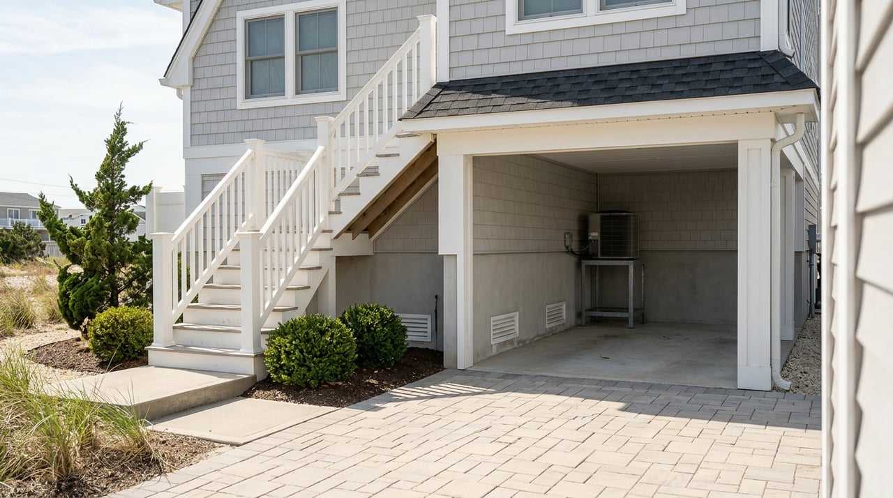
Two homes on the same block can have different practical flood profiles. A difference in finished-floor height, utility elevation, or map interpretation may change how the property is rated or improved.
Before you move forward on a purchase, it helps to confirm:
- The FEMA flood zone for the parcel
- The Base Flood Elevation
- Whether the property falls in a LiMWA or Coastal A Zone area
- Whether an elevation certificate already exists
- Any available history of flooding or substantial damage
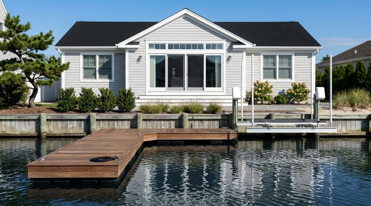
How elevation affects ownership costs
In Mantoloking, elevation is more than a design feature. It is one of the clearest indicators of how a property may perform during storms and how expensive it may be to insure or improve.
Under FEMA's Risk Rating 2.0 framework, premiums reflect factors such as flood frequency, distance to water, flood type, elevation, and rebuild cost. FEMA and FloodSmart also note that an elevation certificate can help an insurance agent rate a policy, may reduce the premium, and can support efforts to change a property's flood-zone designation.
For many buyers, this means the headline purchase price is only part of the story. A home that sits higher relative to BFE, with documented compliance and elevated utilities, may offer a different long-term cost picture than a nearby property with a similar view.
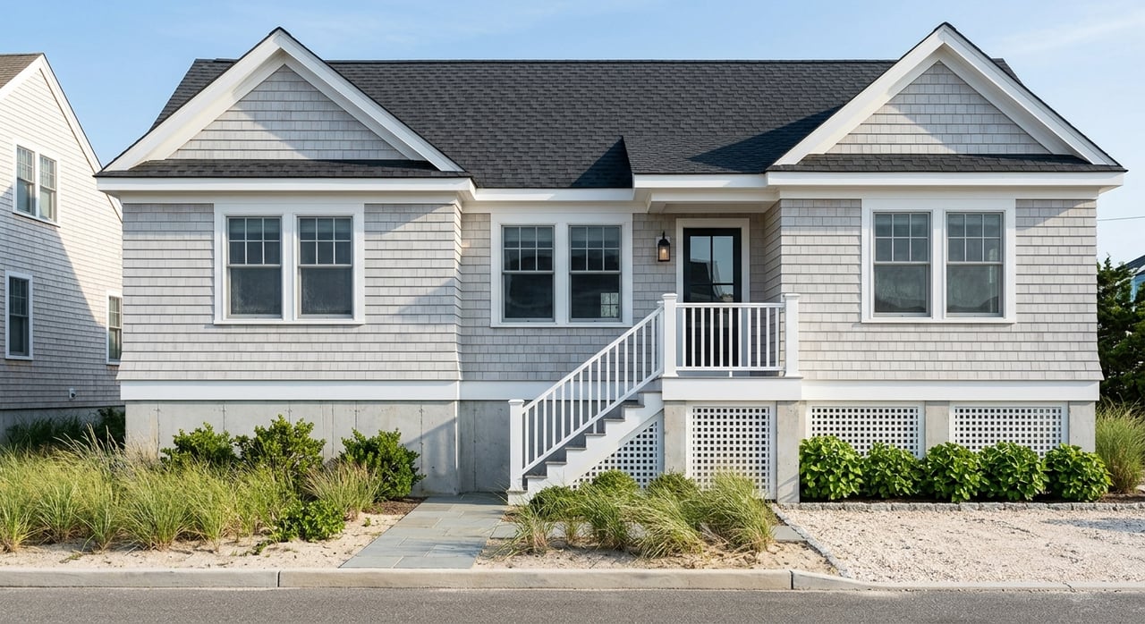
What renovation rules can trigger
If you are buying with plans to renovate, Mantoloking's local flood rules deserve close attention early in the process. The borough's flood-protection brochure states that new or substantially improved homes must have the first floor at least 1 foot above BFE. It also says substantially damaged buildings must be elevated at least 1 foot above BFE.
The same borough guidance explains that if reconstruction, additions, rehabilitation, or other improvements reach 50% of the building's market value, the home must meet standards for new construction. You can review those requirements in the borough's flood protection materials.
The borough code adds more detail for coastal high-hazard settings. According to the local code provisions, new construction and substantial improvements must elevate the lowest horizontal structural member and utilities to the Local Design Flood Elevation, and elevation certificates are required during construction and before final inspection.
What this means for your project
A major remodel can become a full code-compliance project faster than many buyers expect. If your scope approaches the substantial-improvement threshold, you may need to budget for:
- Structural elevation work
- Raised mechanicals and utilities
- Updated foundation or enclosure design
- Additional surveys and elevation certificates
- Longer permitting and construction timelines
That does not make renovation a bad idea. It simply means you should price compliance early, not after drawings are complete.
How flood insurance works in Mantoloking
One of the most important facts for coastal buyers is that standard homeowners insurance does not cover flood losses. Flood coverage is separate and is typically obtained through the National Flood Insurance Program or the private market.
For financed purchases, FEMA notes through the Flood Map Service Center guidance that lenders in participating communities require flood insurance for buildings located in a Special Flood Hazard Area. In Mantoloking, that matters broadly because the borough states that the entire community is in an SFHA.
Mantoloking also participates in FEMA's Community Rating System. The borough says it currently holds Class 5 status, which provides a 25% premium reduction for homeowners, and FEMA's CRS scale confirms that Class 5 corresponds to a 25% discount. That detail can make a meaningful difference when you compare carrying costs from one coastal market to another.
Why elevation certificates still matter
Even under current FEMA rating methods, elevation data can still be useful. An elevation certificate may help support more accurate insurance rating, identify whether the home sits favorably relative to BFE, and assist if you pursue a map change.
If survey data suggests a map does not reflect actual site conditions, FEMA provides a process to request a Letter of Map Amendment or Letter of Map Revision. For some owners, that is the right next step when a property appears to sit higher than the map suggests.
What sellers now need to disclose
Flood status is not just an insurance topic. It is part of the transaction itself. The research provided notes that New Jersey now requires sellers to disclose whether a property is in FEMA's Special or Moderate Risk Flood Hazard Area, along with any actual knowledge of flood risk.
For you as a buyer, that creates a clearer starting point for questions. For you as a seller, it reinforces the value of having organized documentation, including flood-zone information, elevation certificates if available, insurance details, and records of any resilience improvements.
How local mitigation work supports resilience
Mantoloking is not standing still on flood mitigation. The borough's August 2025 beach replenishment update states that work had begun to cover the entire town, including dune, dune-fence, and walkway touch-ups.
The borough's flood mitigation plan materials also identify dunes, drainage improvements, warning systems, evacuation planning, and critical-facility elevation as ongoing priorities. At the state level, New Jersey's coastal hazard guidance notes that many parts of the coast are highly vulnerable to flooding, storm surge, erosion, sea-level rise, and extra-tropical storms.
These efforts matter, but they should be viewed as part of a broader risk-management strategy. Beach nourishment and dune maintenance can support resilience, but they do not replace parcel-by-parcel due diligence, code compliance, or flood insurance.
What buyers should review before closing
If you are evaluating a Mantoloking home, a focused review can help you make a more confident decision.
Here is a practical checklist:
- Confirm the FEMA flood zone and Base Flood Elevation
- Ask whether an elevation certificate is available
- Review whether the home appears elevated above BFE and by how much
- Check the placement of HVAC, electrical, and other utilities
- Ask about any past flood history or substantial damage history
- Understand whether planned renovations could trigger substantial-improvement rules
- Get flood insurance quotes early, not just before closing
- Review current mitigation features such as dune context and drainage conditions
Why this affects long-term value
In Mantoloking, value is shaped by more than address, view, or beach access. A home's insurability, elevation relative to BFE, documented compliance, and resilience features can all influence ownership cost and marketability.
That is especially true in a barrier-island market where flood risk is community-wide and regulatory requirements are significant. For buyers, careful diligence can help you avoid surprises. For sellers, strong documentation can help support buyer confidence.
If you want a clear, discreet review of how flood risk, elevation, and insurance may affect a specific Mantoloking property, Shawn Clayton can help you evaluate the details with the local context they require.
FAQs
What does Special Flood Hazard Area mean for Mantoloking homes?
- FEMA uses Special Flood Hazard Area to identify higher-risk flood zones where floodplain rules and mandatory flood insurance can apply for financed properties, and Mantoloking states that the entire borough is within this hazard area.
What is Base Flood Elevation for a Mantoloking property?
- Base Flood Elevation is the level floodwaters are expected to reach during the 1-percent-annual-chance flood, and it is a key benchmark for building standards, renovations, and insurance rating.
Does homeowners insurance cover flood damage in Mantoloking?
- No. Standard homeowners insurance does not cover flood losses, so flood insurance must be purchased separately through the NFIP or a private insurer.
Can an elevation certificate help lower Mantoloking flood insurance costs?
- It may. FEMA states that an elevation certificate can help an agent rate a policy, may reduce the premium, and can also support certain flood-zone change requests.
Can remodeling a Mantoloking home trigger elevation requirements?
- Yes. Borough guidance says that if improvements reach 50% of the building's market value, the home may need to meet new-construction flood standards, including elevation requirements.
Are there programs that help elevate flood-prone New Jersey homes?
- Yes. New Jersey's Mitigation Assistance Program accepts rolling applications from homeowners in flood-prone areas who want to elevate their homes to reduce future flood risk, according to the state announcement.